Bianca Roth · 10 November 2026
Classroom Labs Emerge as Key Tools in Monitoring Regional Water Scarcity
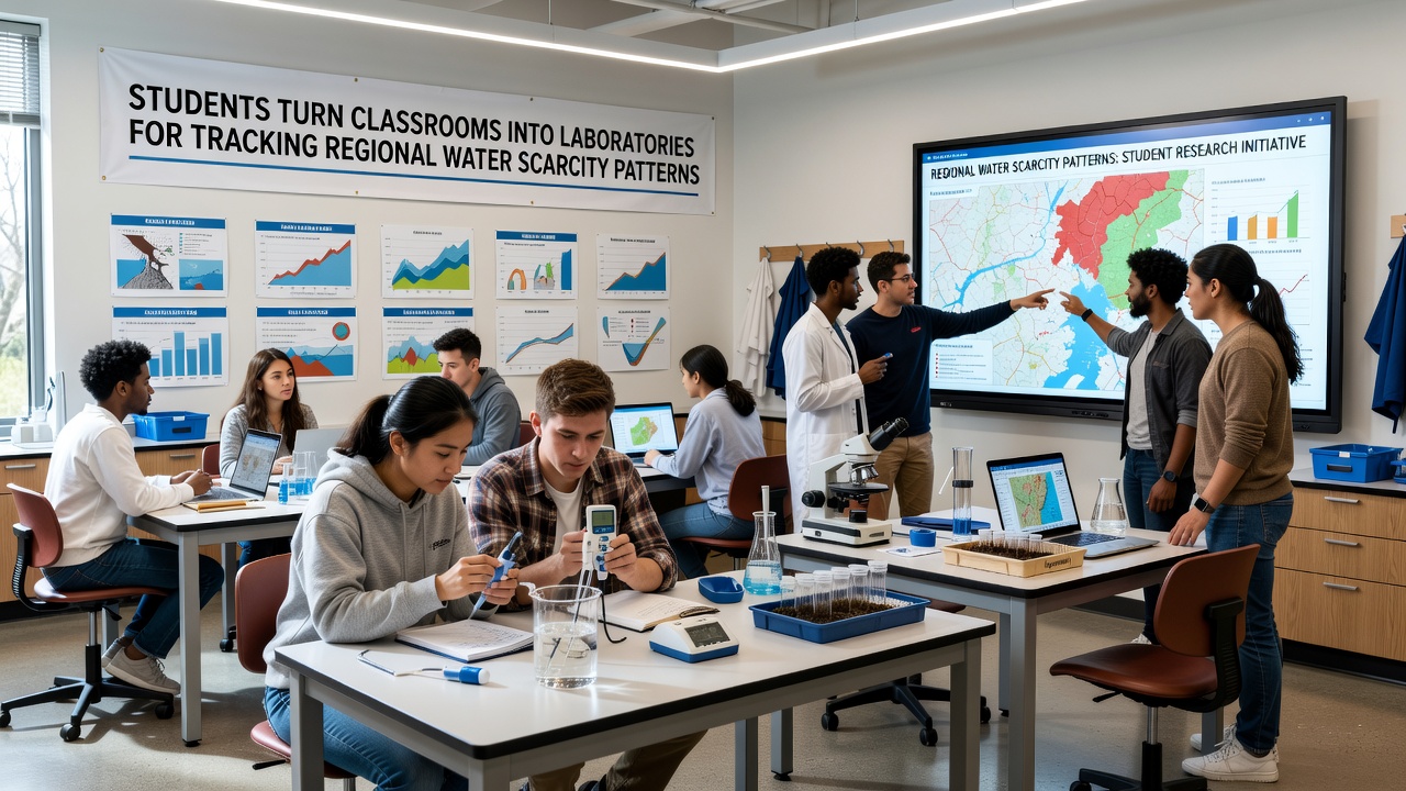
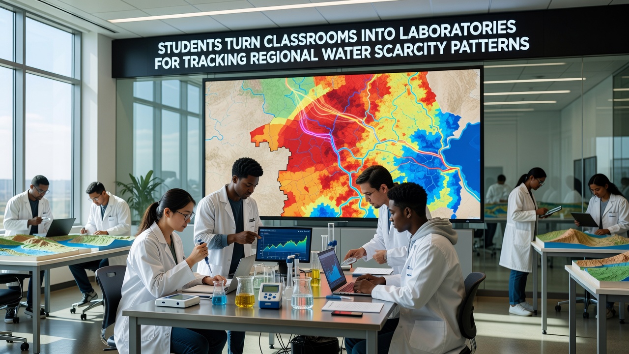
Students across several districts have converted standard classrooms into functional laboratories equipped with sensors, data loggers, and analysis software to track regional water scarcity patterns, and these efforts have produced consistent datasets that align with broader monitoring programs. Schools in the Peak Ridge area began integrating these setups during the 2024-2025 academic year, yet the scale expanded noticeably by late 2026 as partnerships with local agencies supplied additional equipment and training resources.
Program Structure and Daily Operations
Each participating classroom operates with basic hydrology kits that measure soil moisture, precipitation levels, and stream flow rates, while students record readings at fixed intervals throughout the school day. Teachers coordinate with regional hydrologists so that the collected information feeds directly into public databases maintained by state environmental offices. In November 2026, multiple sites uploaded their latest quarterly reports, and those figures showed measurable declines in groundwater recharge rates across three sub-watersheds compared with the same period five years earlier.
Rotation schedules keep every student involved in both field collection and digital analysis, and this approach ensures that data quality remains high even when individual participants change classes at semester breaks. Software platforms allow real-time comparison against historical records from the U.S. Geological Survey, which provides standardized benchmarks for the region.
Data Integration With External Agencies
Results from the student laboratories undergo validation checks before they enter larger repositories, and this step has reduced gaps in coverage that previously existed in remote monitoring zones. One district reported that its classroom network now supplies approximately 18 percent of the monthly observations used by county planners for drought preparedness models. External links connect classroom dashboards to USGS water data portals so that teachers and students can verify their measurements against official stations without leaving the lab interface.
November 2026 Milestones and Ongoing Trends
During November 2026, several schools hosted open data sessions where community members reviewed maps generated from student-collected samples, and these sessions highlighted consistent patterns of reduced aquifer levels near agricultural zones. Researchers from nearby universities attended to cross-reference the classroom outputs with satellite imagery, and preliminary comparisons indicated strong correlation between ground measurements and remote sensing estimates. Equipment upgrades funded through regional grants arrived at the same time, allowing expanded coverage into previously unmonitored tributaries.
Training modules developed by the state education department emphasize calibration techniques and error logging, and these resources have become standard across all participating sites. Students learn to flag anomalous readings caused by equipment drift or weather events, which improves the reliability of the shared dataset over successive months.
Broader Applications and Future Expansion
The classroom laboratory model has attracted interest from neighboring districts that face similar scarcity pressures, and program coordinators now share curriculum templates through a central online repository. Expansion plans call for additional sensor arrays along major irrigation canals by spring 2027, while current participants continue to refine protocols for handling seasonal variability. Data summaries released in November 2026 also appear in public reports issued by the Environmental Protection Agency's regional water division, where they supplement official monitoring networks.
Coordination with agricultural extension services allows farmers to access anonymized trend summaries that inform irrigation scheduling decisions, and this linkage demonstrates one practical outcome of the student-driven collection efforts. Continued operation depends on sustained equipment maintenance and teacher professional development, both of which receive support from multiple local partners.
Conclusion
Student-operated laboratories have established a repeatable framework for gathering localized water scarcity data that complements existing agency programs, and the November 2026 data releases confirm the value of these contributions to regional planning. Ongoing refinements in methodology and expanded geographic reach indicate that the approach will remain active in coming years as water resource management priorities evolve.